Use Drones for Photogrammetry and 3D Mapping
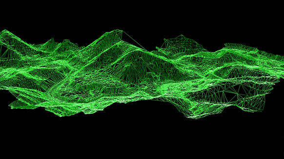
Our expert drone pilots, using advanced techniques can efficiently deliver highly accurate photogrammetry for different fields such as topographic mapping, architecture, engineering, manufacturing, quality control, police investigation and geology, as well as by archaeologists to quickly produce plans of large or complex sites. Thanks to the onboard GPS of the drone, orthomosaics typically have an absolute error of only half a meter, though ground control points could be integrated to give centimeter precision to the absolute locations.
How do we do it
We use high megapixel cameras on stabilized camera mounts to deliver true orthomosaic and georeferenced maps that are cost-efficient and timely. (Consider the cost or accuracy that would be associated with hiring helicopters or other aircraft that are supplied with the necessary photogrammetry equipment.) The process is a matter of flying a drone from a waypoint to capture multiple overlapping photographs of the ground or model which will be pieced together to construct the 2D or 3D mapping or desired 3D model. This process would be virtually impossible to duplicate, let alone at the accuracy rate using a physical pilot navigated aircraft.
The benefits are endless
The use of drone aerial photogrammetry, while still in it’s earlier stages has countless benefits not to mention the mere cost-effectiveness. It can benefit multiple industries for 2D or 3D mapping and modeling such as urban planning, forestry management, oil and gas exploration, cellular network planning, transport planning and so much more. If you have any questions, want to learn more about Drones of Prey or are ready to request a quote, please contact us today at (478) 420-0041.