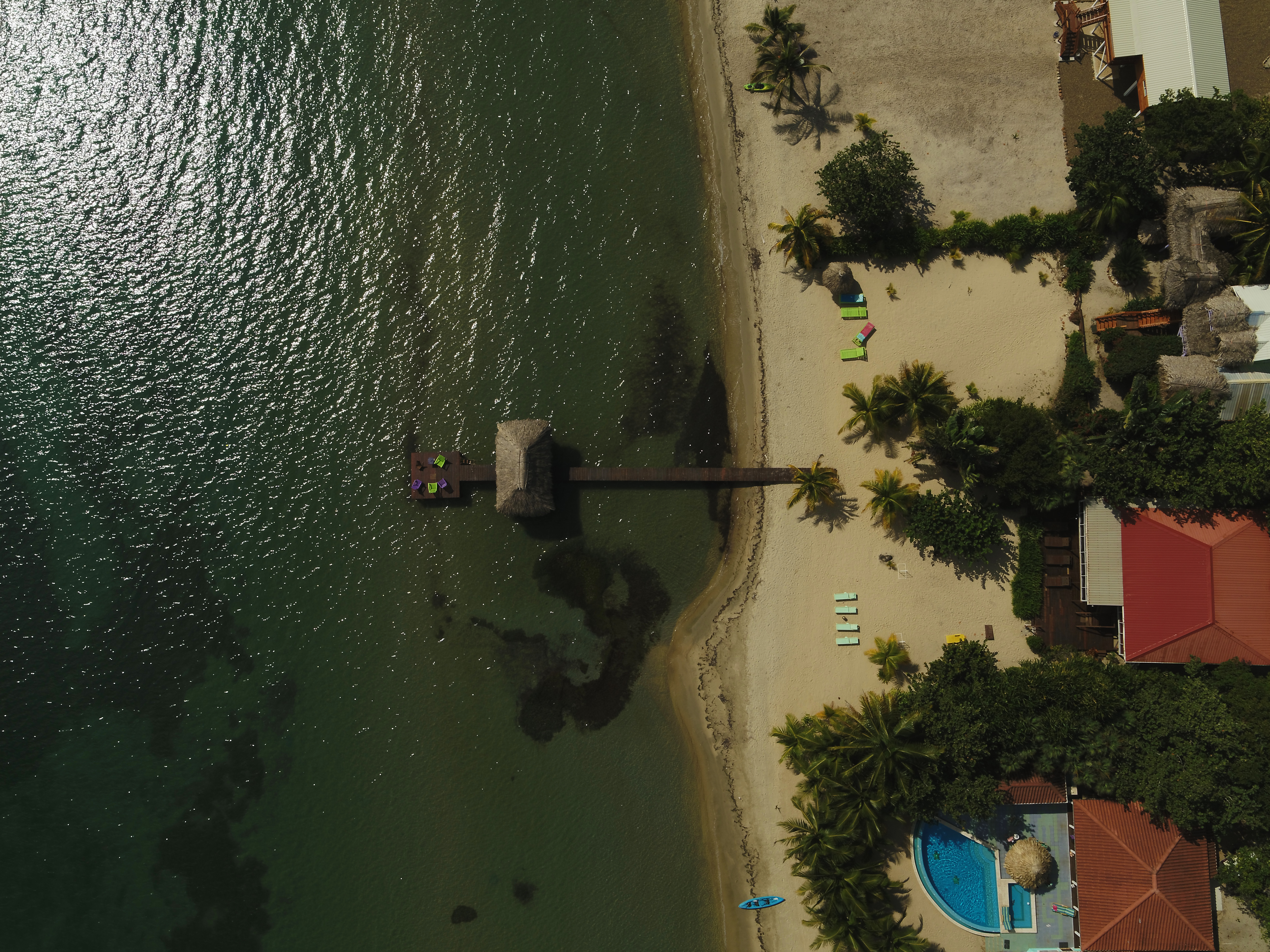
The reach of modern technology is continuing to get further and further with each passing year. As we learn to use it in all sorts of capacities, we can develop its uses to serve us better. There is no better example of this than in the use of drones for coastal erosion. Quickly becoming popular all around, it’s one of the most popular ways to rely on modern technology to help everyone enjoy better, more accurate education on what’s happening around them in real time. Take a look at some of these benefits that drones can aid in the preservation of coastal erosion
Benefits of Drones for Coastal Erosion
Drones are fast and can be moved about as needed
When manned by a trained professional who is experienced at using his or her drone, these cameras are fast in getting to where they need to go. Not to mention great at getting those hard-to-reach angles that show erosion in detail. This is a massive difference between drones and the previously popular, helicopters. Helicopters that can’t get quite as close or in the right position for the best shot you’re looking for.
Better views at no human risk
Drones are equipped with high end cameras that are designed to give you the most detail possible. You’ll get better quality views, photos and videos without a single moment of risk when it comes to human life. This is especially helpful when you need that fine detail to really see what parts of the coast are hanging on by a thread versus other points. This is also great for monitoring waves and precisely how they hit the coast.
Drones are cost-effective
While professional drones do have quite a price tag on them, they’re much better for the budget than an alternative, such as a helicopter. When you go the helicopter route, you have to pay for the helicopter itself (as well as its hours of use), fuel, personnel and more. Those fees will be much, much more than the most professional, high end drone and its pilot, and you even get better footage. Sure, humans walking the shore is another option, but you don’t want to cause further erosion either. That would defeat the purpose.
Drones combined methods
When used for coastal erosion long-term, you can combine drone footage with surveying and even satellite imaging (if that’s an option). Surveying with 2D and 3D mapping is something that you are able to do with a drone. However, without historical data, it is harder to compare. So, you may need to rely on previous satellite images, paper mapping or older historic mapping to show the true erosion over time. But not that you have these images and mapping from drones, you can do them periodically to show you the erosion over time. Since coastal erosion can destroy homes and livelihoods, this is one area in which you do not want to compromise on accuracy.
Professionalism = accuracy
Speaking of accuracy, you’ll want to put some effort into where you go when it comes to getting the right pilot for your mapping of coastal erosion. The more professional and experienced the pilot is, the better the footage and the more accurate the results. Not to mention, it is legal and likely safer. Consider Drones of Prey to help you get the precision you deserve. Pilots should be licensed by the FAA to fly and have an FAA exemption so that everything is above board and protected.
Coastal erosion is only going to get worse as time moves forward, and drones will be the best way for you to get the clarity you need to make the changes required for the environment as a whole. Or if you are looking to build near some beautiful cliffs for that amazing view, you may want to consider the erosion over the last 10-20 years to forecast your future home conditions. Contact Drones of Prey to get the images and mapping you need for your future construction views, non-profit or various project needs.