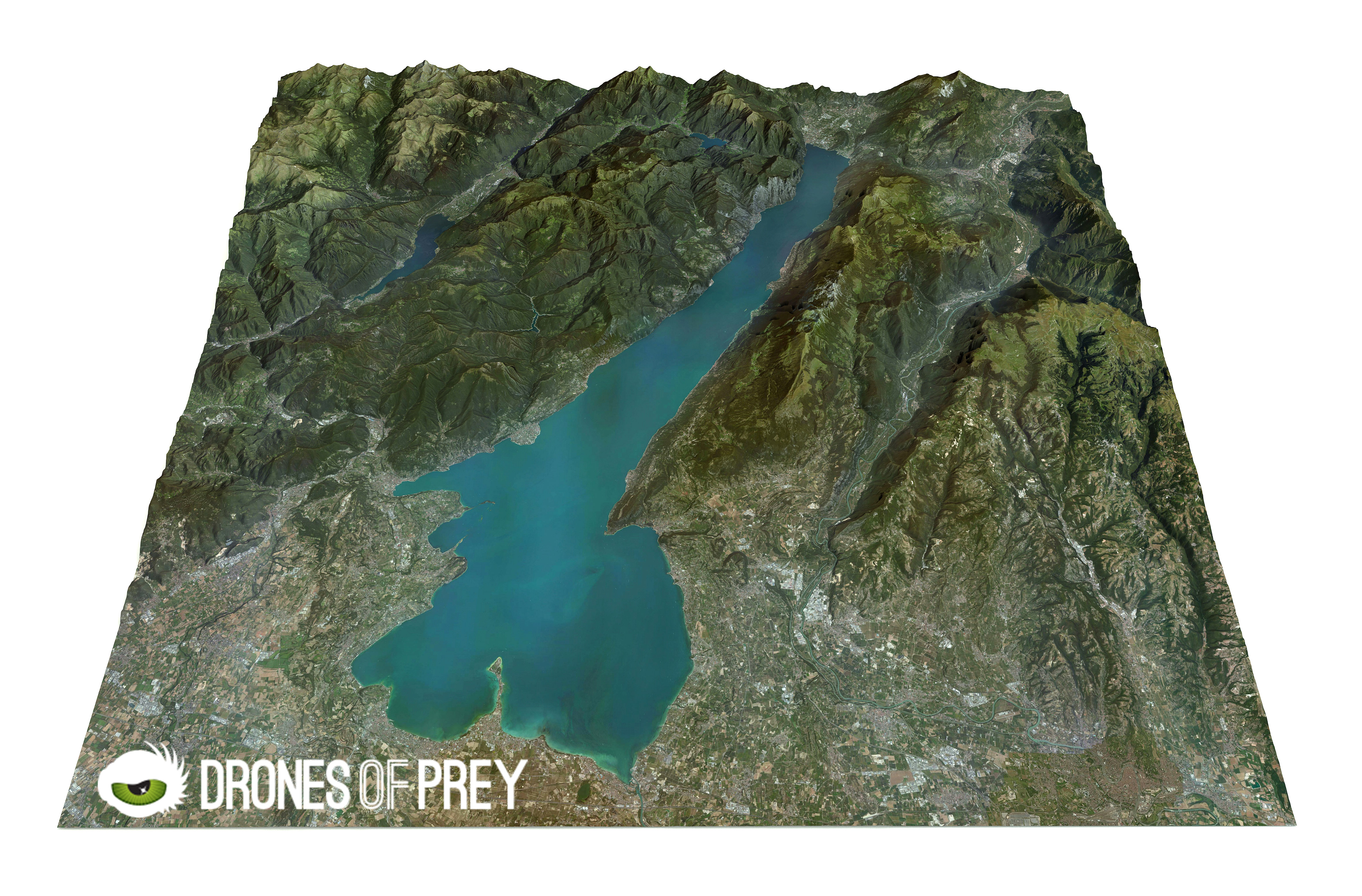
Benefits of Using Drones for 2D & 3D Mapping
2D or 3D mapping creates a precise map from aerial images and it gives a result that does not look like the type of map you buy at a gas station. But it is an accurate picture of terrain – which includes all buildings and all the natural components of the terrain. This mapping gives …

