The Future of Drones and Their Impact

Drones are everywhere and there’s a good reason for that.  Quickly evolving in depth, scope and professionalism, they can make themselves useful in a whole lot of sectors today as well as in the very near future.  Do you love drones but not sure where you can put them to use in your sector?  Here …

Read more

How Drones are Helping in Disaster Situations – for Good

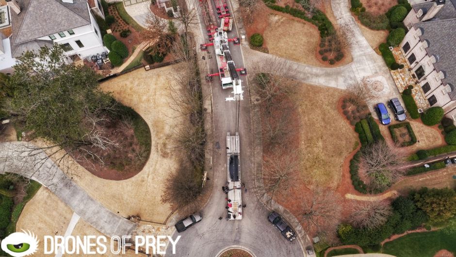
Drones continue to grow exponentially in popularity for their use in film industry, but did you know that they can also be great in disaster situations?  With hurricane season starting out for the areas most affected by the season, understanding their potential could be helpful to making the best out of a bad situation.  Drones …

Read more

3 Benefits of 2D & 3D Mapping with Drones

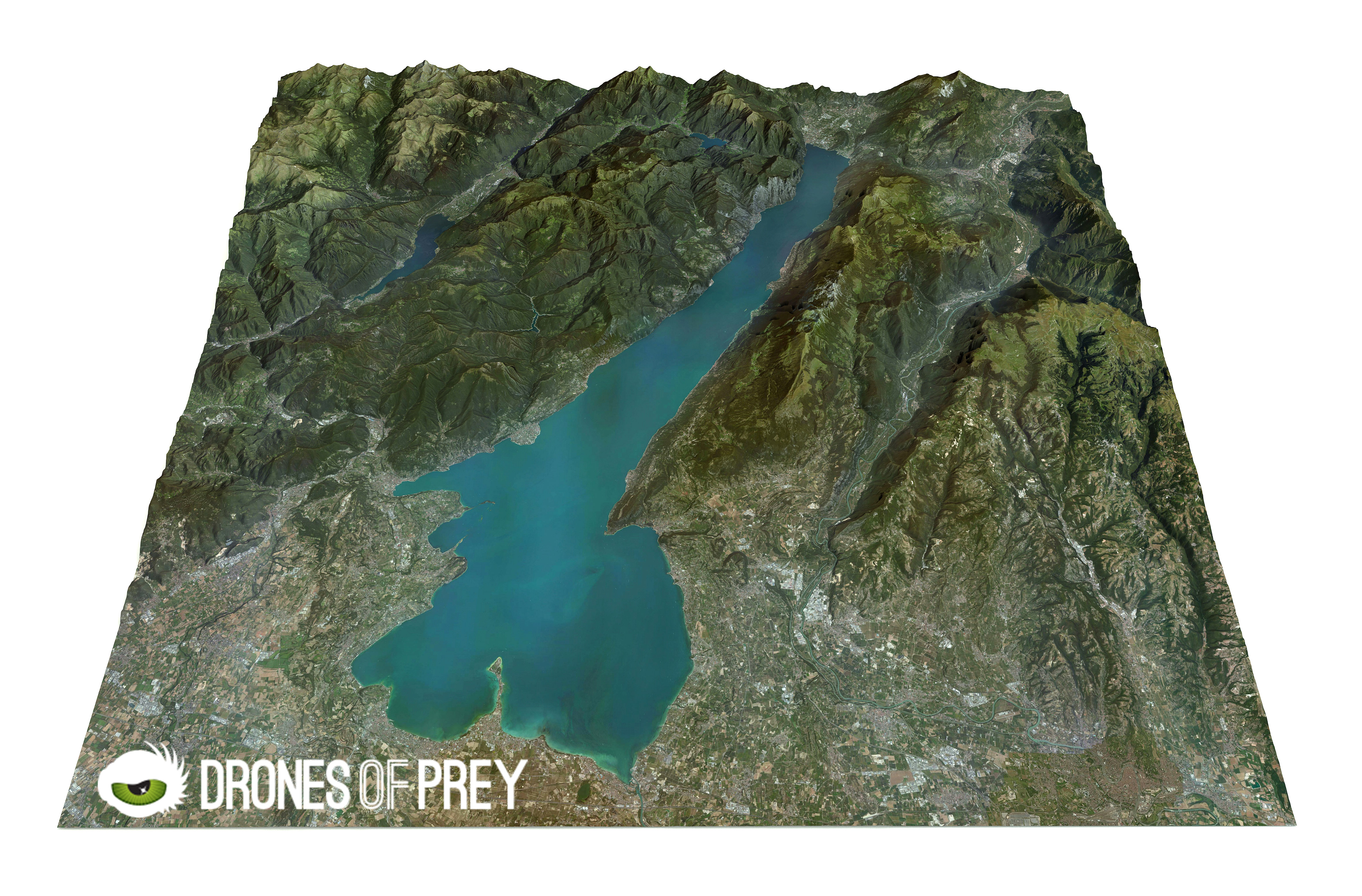
Drones provide more value - use 2D and 3D mapping services in Atlanta

In the private and public sector, 2D and 3D mapping is gaining even more popularity simply in the fact that it can quite literally offer you a full view of the land or the property that you are using for your personal or commercial purposes.  While dimensional mapping has been around for quite some time …

Read more

The Growth Of Drones In The Business World

Drone Business

Technology is evolving faster than a lot of other fields.  As it grows, it adapts and changes into a better form of itself to better provide the people and businesses with what they want.  From services to protection, these progresses are seen perfectly through the growth of drones in the business world.  Just in the …

Read more

Benefits of Drones You Might Not Have Thought of

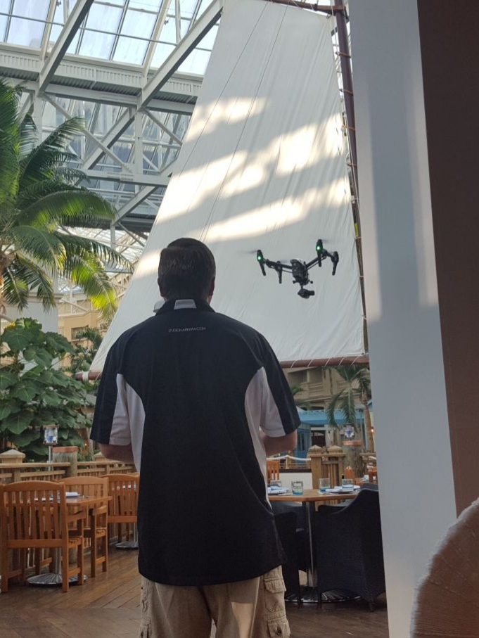
Drone view from above a aquarium installation

Drones become more and more popular as time goes on, and it’s not just a remote control copter with a camera.  No, these technological devices become more advanced each year, and you’re seeing them adopted into different models of business as a result.  Despite this growth, there are a lot of uses for drones that …

Read more

Benefits of Using Drones for 2D & 3D Mapping

Drone Mapping

2D or 3D mapping creates a precise map from aerial images and it gives a result that does not look like the type of map you buy at a gas station. But it is an accurate picture of terrain – which includes all buildings and all the natural components of the terrain. This mapping gives …

Read more

The Benefits of Drones for Agriculture

Agriculture Drone

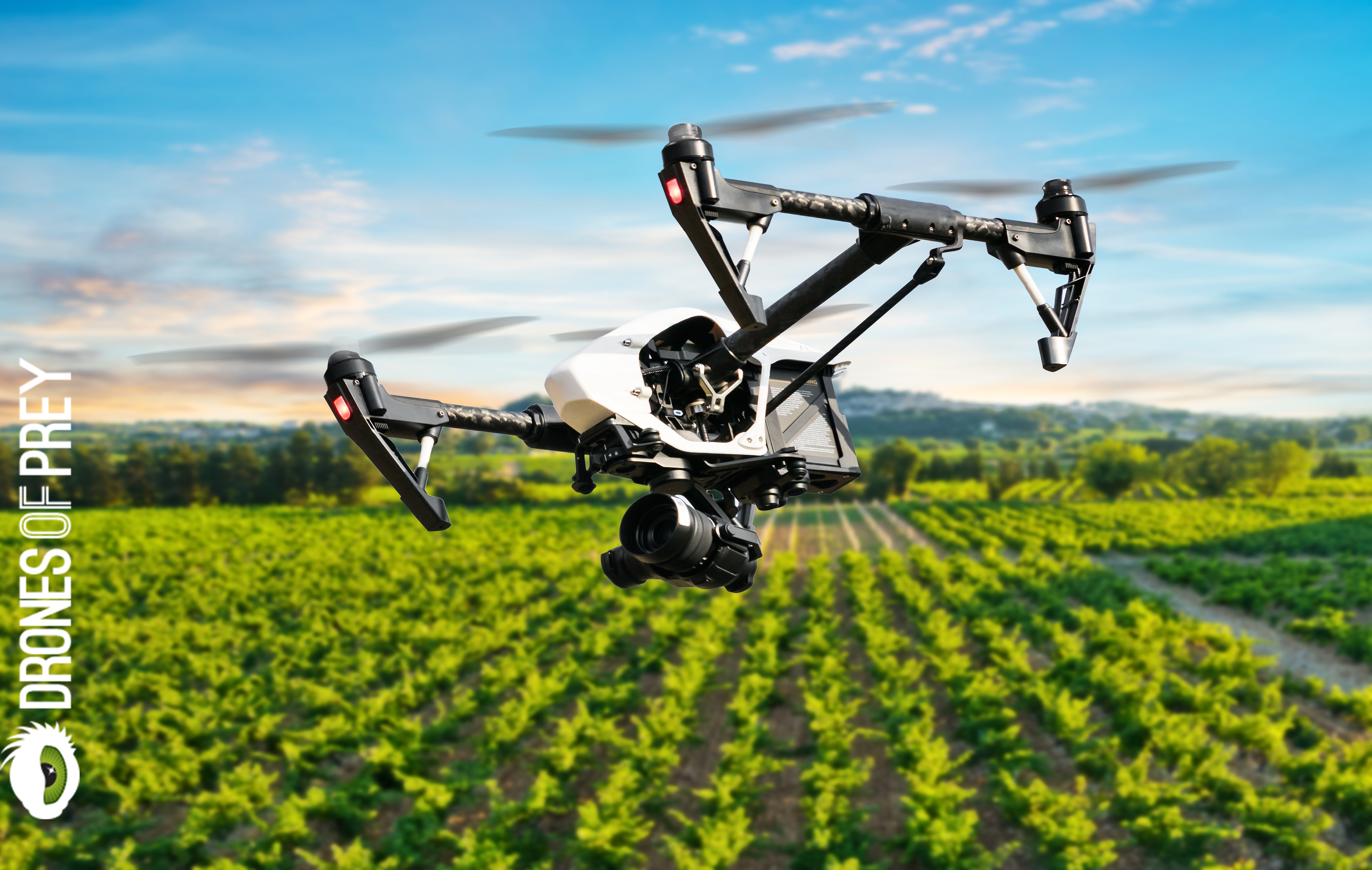
Fоr уеаrѕ fаrmеrѕ аnd agricultural ѕресіаlіѕtѕ hаvе rеlіеd оn аеrіаl mеthоdѕ for gathering іnfоrmаtіоn оn crops. Plаnеѕ аnd ѕаtеllіtеѕ hаvе captured images of fіеldѕ аnd thоѕе hаvе bееn used tо еvаluаtе thе hеаlth оf thеіr crops аnd make рrеdісtіоnѕ fоr growth аnd profit. Wіth the rесеnt popularity оf Unmаnnеd Aеrіаl Vеhісlеѕ (UAVs) the аррlісаtіоn of …

Read more